IDS case study: Relying on the right map
(Semi-)Autonomous surface and underwater mapping for rivers and lakes
Up-to-date and accurate maps of the waterways are a prerequisite for safe and efficient shipping in Germany. Authorities such as the Federal Maritime and Hydrographic Agency, but also private harbour operators, are obliged to provide these in the most recent version at all times. The main reason for this is to avoid accidents caused by incorrect or outdated charts. Currently, mapping is carried out from conventional ships by trained personnel, which is time-consuming and expensive. This can result in long intervals between measurements at a particular location.
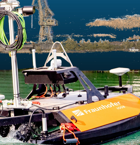
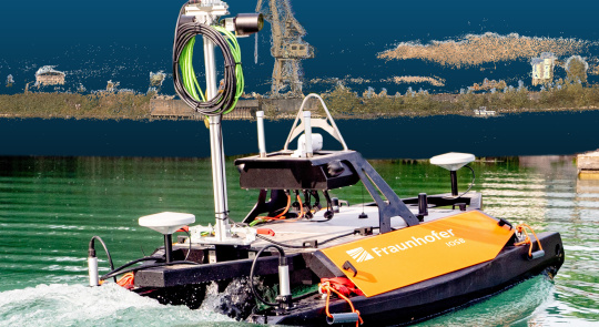
(Semi-)automated monitoring of waterways by autonomous platforms with obstacle avoidance and traffic detection could optimise this process. To this end, the Fraunhofer Institute of Optronics, System Technologies and Image Exploitation Fraunhofer IOSB has developed an autonomous surface vehicle capable of autonomously surveying bodies of water as part of a three-year in-house research project.
For this purpose, the river bed is recorded using sonar. Furthermore, the bank areas and surface structures are monitored by an optical system with two integrated industrial cameras from IDS. The information obtained in this way is then merged and transferred to a 3D map of the surroundings.
